NinskaPrints
Shop
About
Cart (
0
)
0
NinskaPrints
Shop
About
Contact us
All items
Astronomy, Meteorology
Fruit, Flowers, Plants
Landscapes, Architecture
Anthropology, Geology
Mammals & Marsupials
Fish & Reptiles
Birds & Eggs
Insects, Entomology
Military, Navy, Flags
World Maps, Oceans
Maps - UK, Ireland
Maps - UK Counties
Maps - Americas
Maps - US States, Cities
Maps - Europe, Africa
Maps - Asia, Australasia
Science, Technology
Fashion, Fine Art, Food
Children, Humour, Misc
Local History
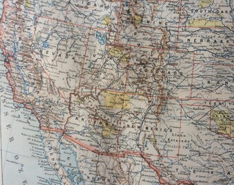
1897 United States (Western Section) Original Antique Map showing native reservations - Available Framed - USA - Vintage Map
$34.72
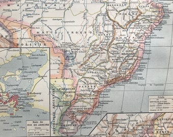
1897 Brazil Original Antique Map with inset maps of Central Brazil and Rio de Janeiro - Mounted and Matted - Available Framed
$44.44
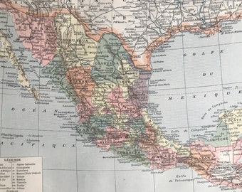
1897 Mexico Original Antique Map - Mounted and Matted - Available Framed
$44.44
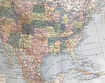
1897 United States Original Antique Map - Mounted and Matted - Available Framed
$44.44
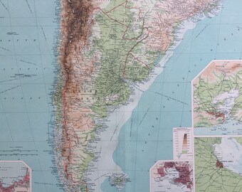
1922 SOUTH AMERICA (Southern Section) Large Original Antique Times Atlas Physical Map with inset maps of Rio De Janeiro, Buenos Aires
$38.88
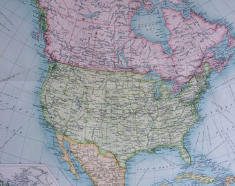
1922 NORTH AMERICA Large Original Antique Times Atlas Political Map with inset maps showing prevailing vegetation - Large Colourful Wall map
$38.88
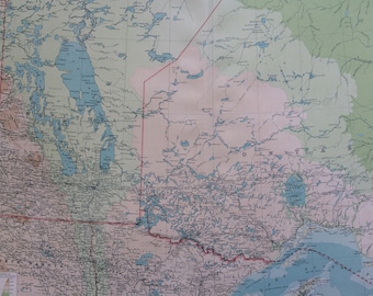
1922 Manitoba & North-West Ontario Large Original Antique Times Atlas Physical Map - Large Wall Map - Canada - Bathyorography
$38.88
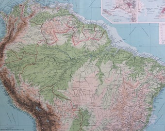
1922 SOUTH AMERICA (Northern Section) Large Original Antique Times Atlas Physical Map with inset maps of Lima and San Salvador
$38.88
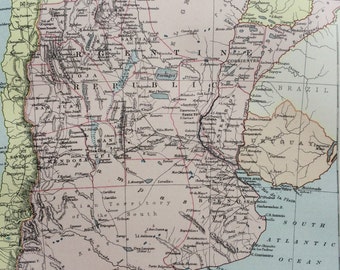
1875 Argentine Republic Original Antique Map - Map of Argentina - Available Matted and Framed - Vintage Wall Map
$36.11
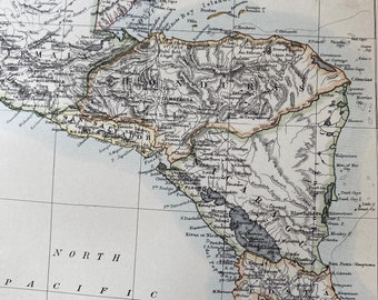
1875 Guatemala, Honduras, Nicaragua, Costa Rica, El Salvador, Belize Original Antique Map - Central America - Available Matted and Framed
$34.02
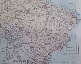
1875 Brazil Original Antique Map - Brazilian History - South America - Available Matted and Framed - Vintage Wall Map
$26.39
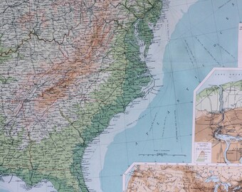
1922 UNITED STATES (East) Large Original Antique Times Atlas Physical Map with inset maps of Niagara Falls and USA population
$38.88
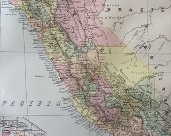
1875 Peru Original Antique Map - South America - Vintage Wall Decor - Wall Map - Available Matted and Framed
$26.39
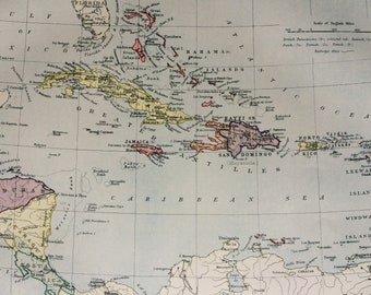
1875 West Indies Original Antique Map - Caribbean, Central America, Jamaica, Haiti, Barbados, Trinidad - Available Matted and Framed
$26.39
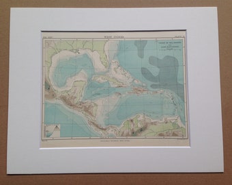
1875 West Indies Chart of Sea Depth and Land Elevation Original Antique Map Caribbean Islands - Available Matted and Framed
$26.39
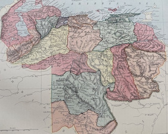
1875 Venezuela Original Antique Map - South America - Available Matted and Framed
$34.02
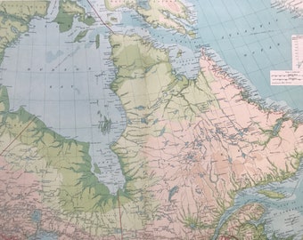
1922 Northeastern Canada Large Original Antique Times Atlas Physical Map - Large Wall Map - Quebec - Hudson Bay - Bathyorographical Map
$38.88
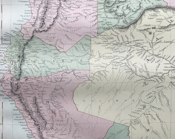
1876 Venezuela, New Granada, Ecuador, Peru Large Original Antique A & C Black Map - Colombia - South America - Wall Decor
$51.38
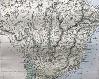
1876 Brazil, Uruguay, Paraguay and Guayana Large Original Antique A & C Black Map - South America
$51.38
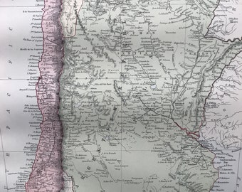
1876 Chilli, La Plata or the Argentine Republic and Bolivia Large Original Antique A & C Black Map - Argentina - Chile - South America
$51.38
1
2
3
4
5
6
0 items in your cart
Close
Keep shopping! :)
Legal imprint
Close