NinskaPrints
Shop
About
Cart (
0
)
0
NinskaPrints
Shop
About
Contact us
All items
Astronomy, Meteorology
Fruit, Flowers, Plants
Landscapes, Architecture
Anthropology, Geology
Mammals & Marsupials
Fish & Reptiles
Birds & Eggs
Insects, Entomology
Military, Navy, Flags
World Maps, Oceans
Maps - UK, Ireland
Maps - UK Counties
Maps - Americas
Maps - US States, Cities
Maps - Europe, Africa
Maps - Asia, Australasia
Science, Technology
Fashion, Fine Art, Food
Children, Humour, Misc
Local History
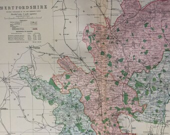
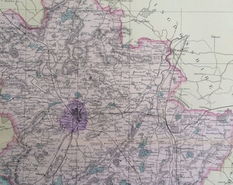
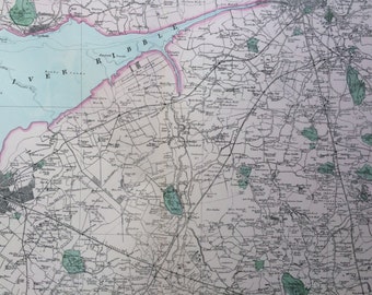
1896 Hertfordshire Large Original Antique Map showing railways, stations, canals, crossroads - UK County - Wall Map - Decorative Art
$38.84
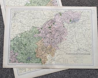
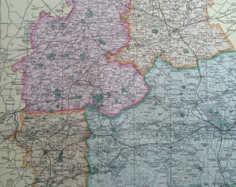
1902 Northamptonshire Set of 2 Large Original Antique Maps showing railways, stations, crossroads, canals - England
$79.07
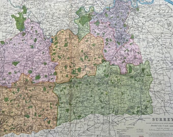
1902 Surrey Original Antique Map showing Railways, Stations, Crossroads, Canals - Large Wall Map - City Plan - England
$40.23
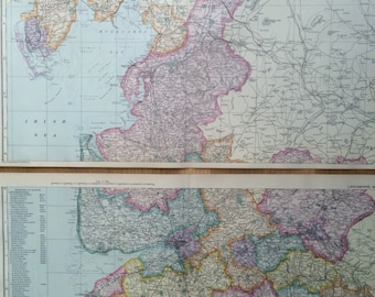
1907 LANCASHIRE Set of 2 Original Antique Maps, 20.5 x 13.5 inches each, historical wall decor, George W Bacon maps, English County
$43.00
1907 BEDFORDSHIRE large original antique map, 20.5 x 13.5 inches, historical wall decor, George W Bacon map
$34.68
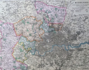
1907 MIDDLESEX large original antique map, 20.5 x 13.5 inches, historical wall decor, George W Bacon map, London
$34.68
1907 WILTSHIRE large original antique map, 20.5 x 13.5 inches, historical wall decor, George W Bacon map
$34.68
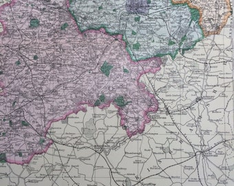
1907 NORTHAMPTONSHIRE Set of 2 Large Original Antique Maps 20.5 x 13.5 inches each, historical wall decor, George W Bacon maps
$34.68
1907 LANCASHIRE Manufacturing District large original antique map, 20.5 x 13.5 inches, historical wall decor, George W Bacon map
$34.68
1907 CUMBERLAND & WESTMORLAND Set of 2 Large Original Antique Maps, 20.5 x 13.5 inches each, historical wall decor, George W Bacon maps
$43.00
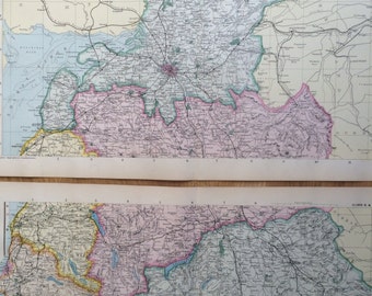
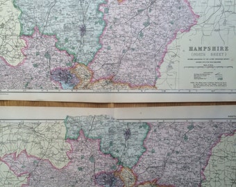
1907 HAMPSHIRE Set of 2 Large Original Antique Maps, 20.5 x 13.5 inches each, historical wall decor, George W Bacon maps
$43.00
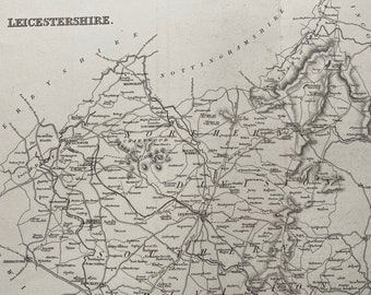
1845 Leicestershire Original Antique Engraved Map - UK County Map - Decorative Art - Cartography - Wall Decor
$43.00
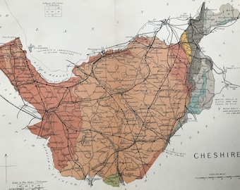
1913 Cheshire Original Antique Small Geological Map - Devon - UK County Map - Geology - Available Framed
$36.07
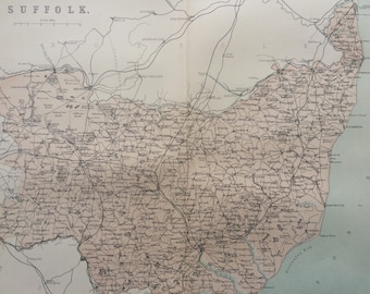
1868 Suffolk Original Antique Map - UK County - England County - Wall Decor
$34.68
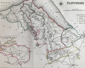
1845 Flintshire Original Antique Hand-Coloured Engraved Map - Available Framed - Cartography - Wall Decor - Wales
$63.81
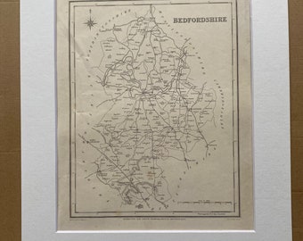
1845 Bedfordshire Original Antique Engraved Map - UK County Map - Available Framed - England
$63.81
1868 Herefordshire Original Antique Map - UK County - England County - Wall Decor
$34.68
1848 Monmouthshire Original Antique Engraved Map - UK County Map - Decorative Art - Cartography - Wall Decor - England
$40.23
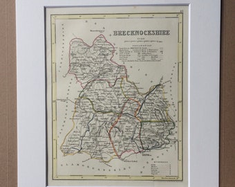
1848 Brecknockshire Original Antique Hand-Coloured Engraved Map - UK County Map - Decorative Art - Cartography - Wall Decor - England
$63.81
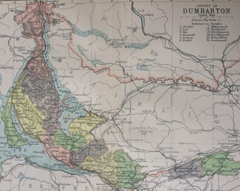
1902 County of Dumbarton Original Antique Map - Scotland - Scottish History - Scottish County - Available Framed
$62.42
1
2
3
4
0 items in your cart
Close
Keep shopping! :)
Legal imprint
Close