NinskaPrints
Shop
About
Cart (
0
)
0
NinskaPrints
Shop
About
Contact us
All items
Astronomy, Meteorology
Fruit, Flowers, Plants
Landscapes, Architecture
Anthropology, Geology
Mammals & Marsupials
Fish & Reptiles
Birds & Eggs
Insects, Entomology
Military, Navy, Flags
World Maps, Oceans
Maps - UK, Ireland
Maps - UK Counties
Maps - Americas
Maps - US States, Cities
Maps - Europe, Africa
Maps - Asia, Australasia
Science, Technology
Fashion, Fine Art, Food
Children, Humour, Misc
Local History
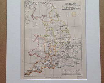
1875 England according to Domesday showing William's conquests Original Antique Map - Available Matted and Framed - English History
$26.69
1922 British Isles (Railways and Industrial) Large Original Antique Times Atlas Map - Industrial Regions - Major Towns - Land Cultivation
$39.33
1903 BALA & WREXHAM Large Original Antique Map, 17.5 x 23 inches, historical wall decor, Bartholomew map, Home Decor, Cartography
$35.12
1903 MIDDLESBOROUGH Large Original Antique Map, 17.5 x 23 inches, historical wall decor, Bartholomew map, Home Decor, Cartography
$35.12
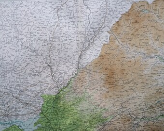
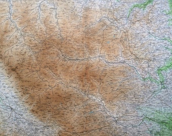
1907 WALES (Central) large original antique map, 20.5 x 13.5 inches, historical wall decor, George W Bacon map, Welsh History
$35.12
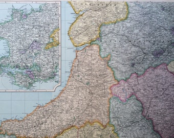
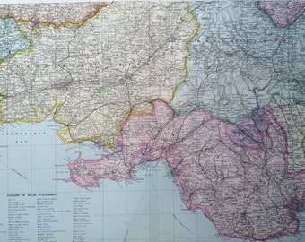
1907 WALES (South) large original antique map, 20.5 x 13.5 inches, historical wall decor, George W Bacon map, Welsh History
$35.12
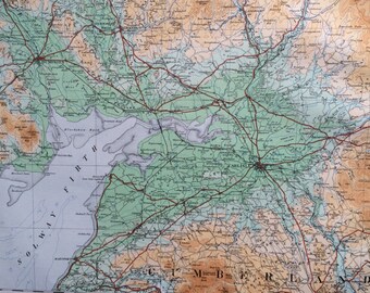
1903 SOLWAY & BORDERS Large Original Antique Map, 17.5 x 23 inches, historical wall decor, Bartholomew map, Home Decor, Cartography
$35.12
1903 DURHAM & APPLEBY Large Original Antique Map, 17.5 x 23 inches, historical wall decor, Bartholomew map, Home Decor, Cartography
$35.12
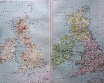
1898 BRITISH ISLES (Political & Physical) Large Original Antique Map, 14 x 18.5 inches, historical wall decor, Bartholomew map, Home Decor
$35.12
1922 Durham, Northumberland, Cumberland Original Antique Panorama Map - Ordnance Survey
$37.93
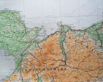
1922 North Wales, Carnavonshire, Anglesey, Denbighshire - Original Antique Panorama Map - Ordnance Survey
$37.93
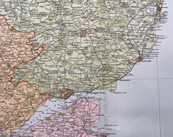
1902 Dundee and Perth Original Antique Map - Large Wall Map - Scotland - Forfar, Fife, Perth
$37.93
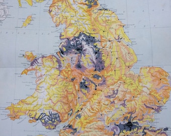
1898 Density of Population of England and Wales Large Original Antique Ordnance Survey Map - Cartography - Gift Idea
$35.12
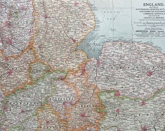
1903 England (Nottingham, Leicester, Rutland, Northampton, Huntingdon, Cambridge, Norfolk, Suffolk) Original Large Antique Map
$35.12
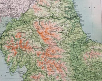
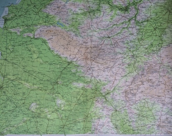
1898 North England (Geographical Features) Large Original Antique Ordnance Survey Map - England - Cartography - Gift Idea
$35.12
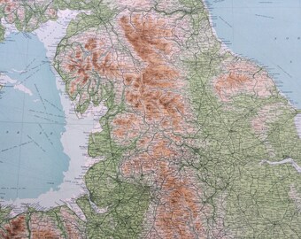
1922 ENGLAND & WALES (Northern Section) Large Original Antique Times Atlas Physical Map - Isle of Man - Lancashire - Denbigh - Yorkshire
$39.33
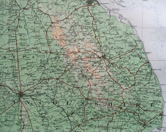
1922 Lincolnshire Original Antique Panorama Map - Ordnance Survey
$37.93
1903 BATH & WELLS Large Original Antique Map, 17.5 x 23 inches, historical wall decor, Bartholomew map, Home Decor, Cartography
$35.12
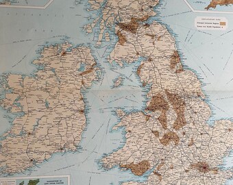
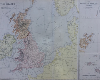
1882 The British Islands and the North Sea Large Original Antique Map with inset maps of The Orkney, Shetland and Channel Islands
$49.16
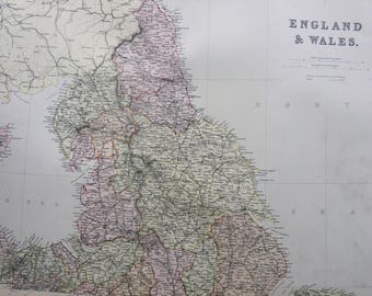
1882 ENGLAND & WALES (North) Large Original Antique Map, 15 x 22 inches, Home Decor, Cartography, Geography, Vintage Decor, wall map
$49.16
1
2
3
4
0 items in your cart
Close
Keep shopping! :)
Legal imprint
Close