NinskaPrints
Shop
About
Cart (
0
)
0
NinskaPrints
Shop
About
Contact us
All items
Astronomy, Meteorology
Fruit, Flowers, Plants
Landscapes, Architecture
Anthropology, Geology
Mammals & Marsupials
Fish & Reptiles
Birds & Eggs
Insects, Entomology
Military, Navy, Flags
World Maps, Oceans
Maps - UK, Ireland
Maps - UK Counties
Maps - Americas
Maps - US States, Cities
Maps - Europe, Africa
Maps - Asia, Australasia
Science, Technology
Fashion, Fine Art, Food
Children, Humour, Misc
Local History
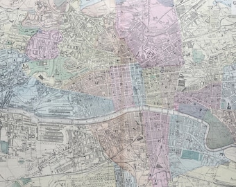
1902 Environs of Dublin Original Antique Map - Large Wall Map - City Plan - Ireland
$66.02
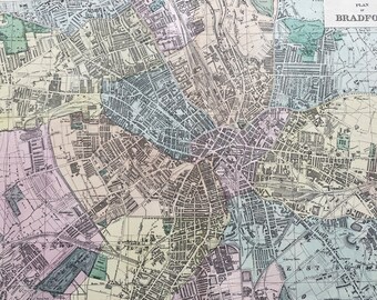
1902 Bradford Original Antique Map - Large Wall Map - City Plan - England
$66.02
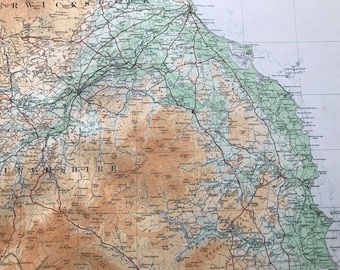
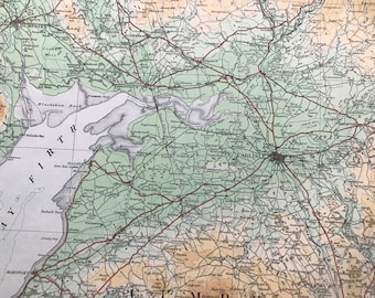
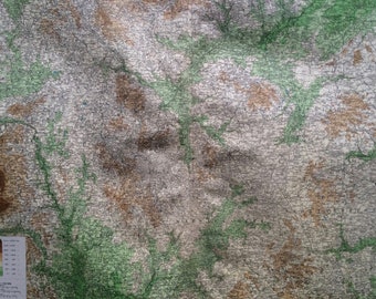
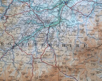
1924 Roxburghshire, Selkirkshire, Peebles, Berwickshire Original Antique Ordnance Survey Panorama Map - Scotland - Cartography - Geography
$53.38
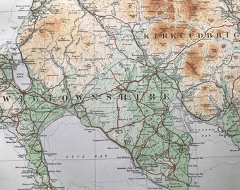
1924 Kirkcudbright, Wigtonshire Original Antique Ordnance Survey Panorama Map - Scotland - Cartography - Geography
$53.38
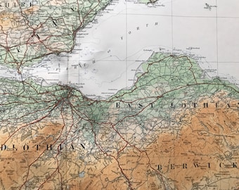
1924 Berwickshire, Midlothian, Glasgow, Stirlingshire Original Antique Ordnance Survey Panorama Map - Scotland - Cartography - Geography
$53.38
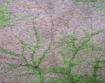
1924 Borders, Dumfries, Cumberland, Northumberland Original Antique Ordnance Survey Panorama Map - Scotland - Cartography - Geography
$53.38
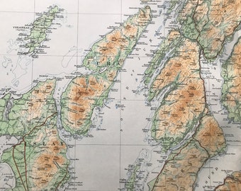
1924 Glasgow, Renfrewshire, Bute, Dumbarton, Hebrides Original Antique Ordnance Survey Panorama Map - Scotland - Cartography - Geography
$53.38
1903 SALISBURY Large Original Antique Map, 17.5 x 23 inches, historical wall decor, Bartholomew map, Home Decor, Cartography
$35.12
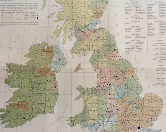
1868 Map showing the distribution of populations in the British Islands Original Antique Map - Statistics Map - Unusual Map
$35.12
1920 Birmingham District Extra Large Original Antique Physical Map showing Railways, Stations, Roads, Canals and Battle Sites
$40.74
1922 Roxburghshire, Selkirkshire, Berwickshire, Peebleshire Original Antique Panorama Map - Ordnance Survey
$37.93
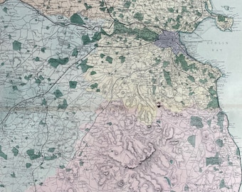
1902 Glasgow Original Antique Map - Large Wall Map - City Plan - Scotland
$66.02
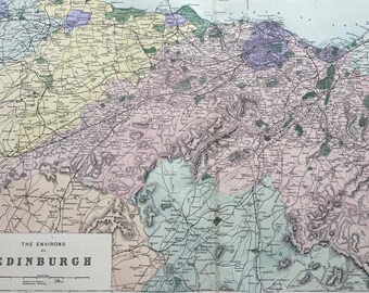
1902 Edinburgh (Environs) Original Antique Map - Large Wall Map - City Plan - Scotland
$66.02
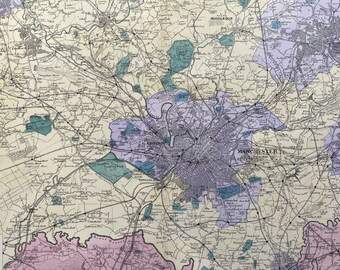
1902 Manchester (Environs) Original Antique Map - Large Wall Map - City Plan - England
$66.02
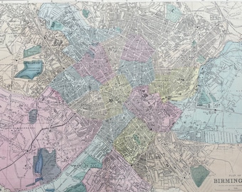
1902 Birmingham Original Antique Map - Large Wall Map - City Plan - England
$66.02
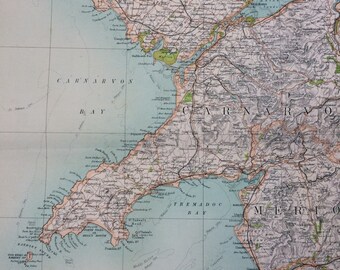
1898 Carnarvon Large Original Antique Ordnance Survey Map - City Plan - England - Britain - Cartography - Gift Idea - Local History
$35.12
1
2
3
4
0 items in your cart
Close
Keep shopping! :)
Legal imprint
Close