NinskaPrints
Shop
About
Cart (
0
)
0
NinskaPrints
Shop
About
Contact us
All items
Astronomy, Meteorology
Fruit, Flowers, Plants
Landscapes, Architecture
Anthropology, Geology
Mammals & Marsupials
Fish & Reptiles
Birds & Eggs
Insects, Entomology
Military, Navy, Flags
World Maps, Oceans
Maps - UK, Ireland
Maps - UK Counties
Maps - Americas
Maps - US States, Cities
Maps - Europe, Africa
Maps - Asia, Australasia
Science, Technology
Fashion, Fine Art, Food
Children, Humour, Misc
Local History
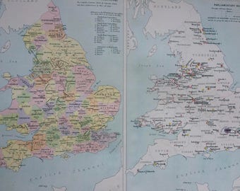
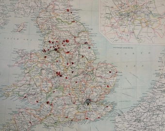
1898 Political Map of England and Wales Large Original Antique Ordnance Survey Map - Cartography - Parliamentary Representation - Boroughs
$35.12
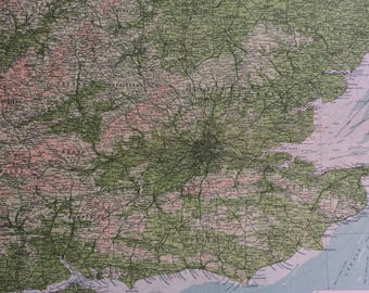
1922 ENGLAND (South-East) Large Original Antique Times Atlas Physical Map with inset map of the Channel Islands - London - East Anglia
$39.33
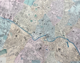
1902 Leeds Original Antique Map - Large Wall Map - City Plan - Yorkshire - England
$66.02
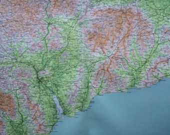
1903 EXETER & HONITON Large Original Antique Map, 17.5 x 23 inches, historical wall decor, Bartholomew map, Home Decor, Cartography
$35.12
1898 Counties & Boroughs of England and Wales Large Original Antique Ordnance Survey Map - Cartography - Gift Idea
$35.12
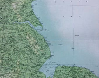
1898 East England (Geographical Features) Large Original Antique Ordnance Survey Map - England - Cartography - Gift Idea
$35.12
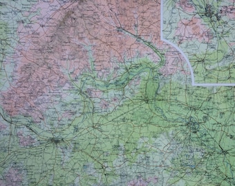
1898 The Upper Thames Large Original Antique Ordnance Survey Map - City Plan - England - Britain - Cartography - Gift Idea - Local History
$35.12
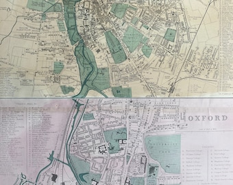
1902 Cambridge and Oxford Original Antique Map - Large Wall Map - City Plan - England
$66.02
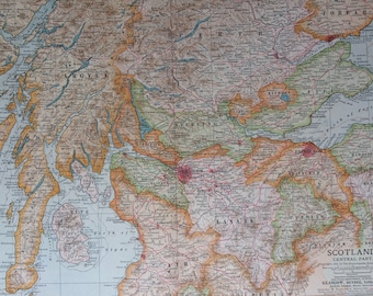
1903 Scotland (Central part) Original Large Antique Map showing Castles, Abbeys, Railways, Lighthouses
$35.12
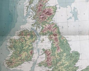
1903 The British Isles - Physical Original Antique Map with section from Cape Wrath to Beachy Head and from Cape Clear to Flamborough Head
$42.14
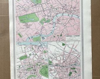
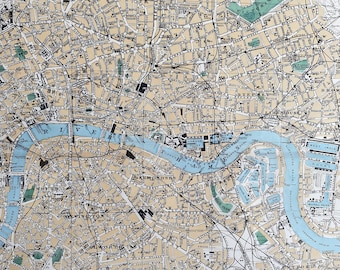
1903 London, Edinburgh & Dublin Original Antique Map, City Plans, 10 x 15.5 inches, Harmsworth map, England
$35.12
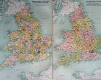
1903 ENGLAND & WALES (Administrative) Large Original Antique Map, 17.5 x 23 inches, historical wall decor, Bartholomew map, Home Decor
$42.14
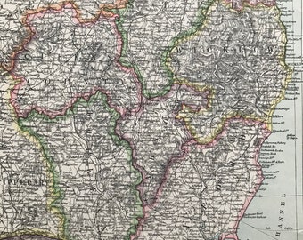
1903 Dublin & Southeast Ireland Original Antique Map showing Railways, Submarine Cables and Steamer Routes - Kilkenny, Wexford, Wicklow
$35.12
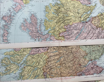
1902 Scotland Set of 3 Large Original Antique Maps with inset maps of Shetland Islands, Orkney Islands, Aberdeen, Dundee, Edinburgh, Glasgow
$80.07
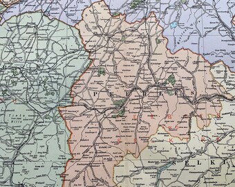
1902 Lanark and Galashiels Original Antique Map - Large Wall Map - Scotland - Peebles, Selkirk, Berwidk, Edinburgh
$37.93
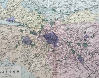
1902 Glasgow (Environs) Original Antique Map - Large Wall Map - City Plan - Scotland
$66.02
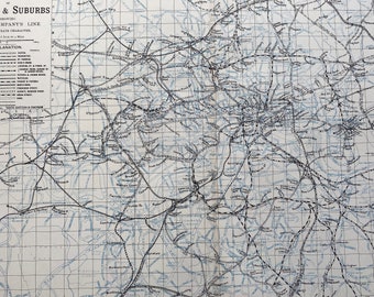
1902 Railway Map of London & Suburbs Original Antique Map - Large Wall Map - City Plan - England
$66.02
1902 London (Environs) Original Antique Map - Large Wall Map - City Plan - England
$40.74
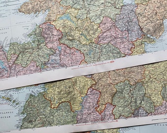
1902 Ireland Set of 3 Large Original Antique Maps with inset maps of Cork, Dublin and Belfast
$80.07
1902 London (East) Original Antique Map - Large Wall Map - City Plan - England
$66.02
1
2
3
4
0 items in your cart
Close
Keep shopping! :)
Legal imprint
Close